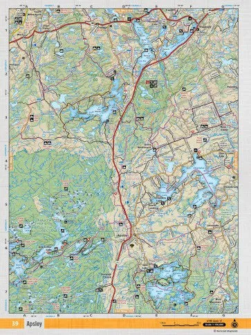
Outdoor Gear | Camping & Hiking Essentials | Premium Outdoor Equipment
Outdoor Gear | Camping & Hiking Essentials | Premium Outdoor Equipment Outdoor Gear | Camping & Hiking Essentials | Premium Outdoor Equipment
Home Hunting Gear Camouflage Clothing
Apsley Adventure Topographic Map | CCON39 | Backroad Mapbooks

Apsley Adventure Topographic Map | CCON39 | Backroad Mapbooks

$ 24.95

$ 0.00

Unavailable
Apsley Adventure Topographic Map | CCON39 | Backroad Mapbooks

Apsley Adventure Topographic Map | CCON39 | Backroad Mapbooks

$ 24.95

$ 0.00

Title:
  • Waterproof
  • WaterResistant
Unavailable
Please select combo product attributes
The combo subtotal is $,SAVE$

Product Details

Paper: Waterproof

Dimensions: 61 x 94 cm/24 x 37 inches

Map Scale: 1:50,000

Map Features: Highways, Logging Roads, Land & Water Features, Parks, Adventure Points of Interest, Campgrounds, Hiking Trails, Motorized Trails, Paddling Routes, Hunting & Fishing Areas, Winter Recreation and More.

Areas Covered: Apsley, Scott Settlement, Kawartha Highlands Provincial Park, Glen Alda, Lasswade, Silent Lake Provincial Park

You May Also Like

Cart
Outdoor Gear | Camping & Hiking Essentials | Premium Outdoor Equipment
Your cart is currently empty.